| Yanajirca | |
|---|---|
 Yanajirca Peru | |
| Highest point | |
| Elevation | 4,800 m (15,700 ft)[1] |
| Coordinates | 10°06′09″S 76°57′04″W / 10.10250°S 76.95111°W |
| Geography | |
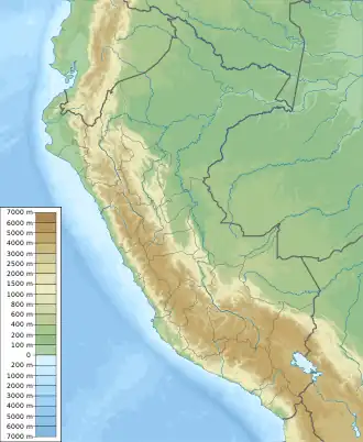
| Location | Peru, Ancash Region |
| Parent range | Andes |
Yanajirca or Yana Hirka (Quechua yana black, Ancash Quechua hirka mountain,[2] "black mountain", also spelled Yanajirca) is a mountain in the Andes of Peru which reaches an altitude of approximately 4,800 m (15,700 ft). It is located in the Ancash Region, Bolognesi Province, on the border of the districts of Huallanca and Huasta. Yana Hirka lies east of Wamash Mach'ay.[1]
References
- 1 2 escale.minedu.gob.pe - UGEL map of the Bolognesi Province (Ancash Region)
- ↑ "Vocabulario comparativo, quechua ecuatoriano - quechua ancashino - castellano - English, Brighton 2006" (PDF). Robert Beér, Armando Muyolemaj, Dr. Hernán S. Aguilarpaj. Retrieved June 15, 2016.
This article is issued from Wikipedia. The text is licensed under Creative Commons - Attribution - Sharealike. Additional terms may apply for the media files.